
Posted by Vitaly Admin
11 Jun, 2024
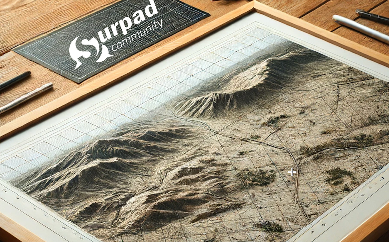
Converting Coordinates with Grid to Ground Transformations
Grid to Ground transformations are used to convert coordinates from a projected grid system (like UTM) to ground distances. This conversion is essential when the curvature of the Earth and elevation changes need to be taken into account. Here are the key functions and steps involved:
1. Define Scale Factor:
Determine the scale factor, which adjusts the grid coordinates to match ground distances. This factor accounts for the Earth’s curvature and elevation differences.
2. Apply Scale Factor:
Input the scale factor into the software. The software will then adjust the grid coordinates to reflect true ground distances.
3. Ground Distance Calculations:
Use the adjusted coordinates for distance calculations, ensuring accurate measurements for construction, mapping, and other geospatial tasks.
Example Usage:
In a mountainous area, the grid coordinates might differ significantly from the actual ground distances due to elevation changes. Using the Grid to Ground function, a surveyor can ensure their data reflects the true distances on the ground, leading to more accurate construction plans.
Steps to Configure Grid to Ground in SurPad 4.2
1. Open Coordinate System Settings:
• Navigate to the "Coordinate System" settings in SurPad 4.2.
2. Configure Grid to Ground:
• Determine the appropriate scale factor for your area.
• Enter the scale factor into the Grid to Ground settings.
• Apply the settings to adjust your grid coordinates to ground distances.
3. Verify and Adjust:
• Conduct field tests to verify the accuracy of your settings.
• Make any necessary adjustments to ensure precise alignment with true ground distances.
By properly setting up Grid to Ground transformations, surveyors can achieve highly accurate geospatial data that aligns with true ground distances, ensuring the reliability and precision of their work.
Converting Coordinates with Grid to Grou...